Methodology
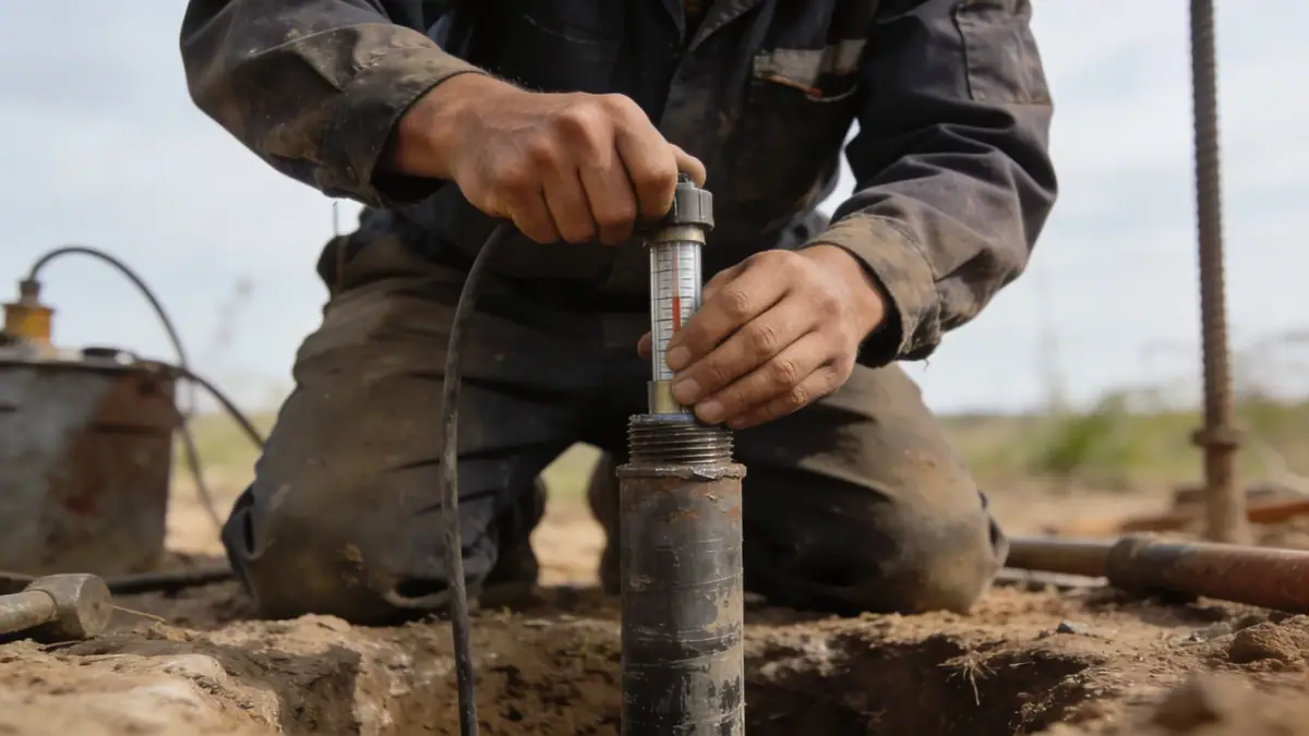
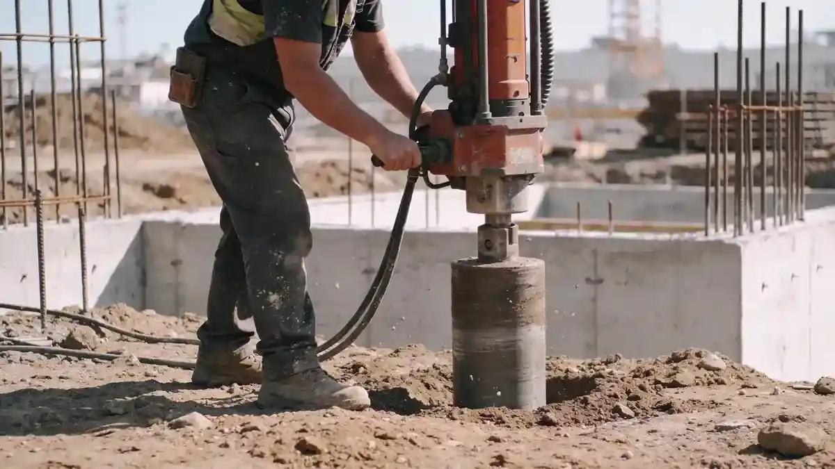
Our methodology for geotechnical engineering in Sherbrooke follows a phased approach. We begin with a desk study of regional geology and seismic hazard mapping. Field investigations include spt boring conducted in accordance with ASTM D1586, with sampling intervals every 1.5 m to depths of 10–20 m. Soil samples are transported to our laboratory for classification (ASTM D2487), moisture content, and strength testing. Groundwater levels are monitored using piezometers. For seismic design, we evaluate site class per ASCE 7 and perform liquefaction potential analysis. All data is synthesized into a comprehensive report with foundation recommendations and earth pressure parameters.
Reference Technical Parameters
| Parameter | Reference Value |
|---|---|
| Predominant soil type | Glacial till, silty sand with gravel; local clay deposits |
| Maximum seismic acceleration (PGA) | 0.20–0.30 g (based on NBCC 2020 seismic hazard maps) |
| Typical groundwater level | 2–5 m below ground surface (varies seasonally) |
| Bedrock depth | 5–20 m (sedimentary bedrock; Appalachian formation) |
| Typical N60 range (SPT) | 10–40 blows/0.3 m (dense till; loose fill in urban areas) |
Local Considerations — Sherbrooke
Sherbrooke's geology is dominated by glacial till and local lacustrine clay deposits, with bedrock from the Appalachian Orogeny at variable depths. Seismic hazard is moderate, with PGA values of 0.20–0.30 g per NBCC 2020. Groundwater is typically shallow (2–5 m), requiring dewatering considerations. Northern districts (e.g., Lennoxville) feature thicker till over bedrock, while central areas near the river have finer-grained soils. Common challenges include soft clay layers in valley bottoms and variable fill in older neighborhoods. Our team addresses these through site-specific investigations, referencing soil mechanics laboratory testing for accurate parameters.
Request a Quote
Our team reviews your project and issues an initial report at no cost.
Or write us directly at [email protected]
Services in Sherbrooke
Applicable Standards
- ASTM D1586 (Standard Test Method for SPT)
- ASTM D2487 (Classification of Soils for Engineering Purposes)
- NBCC 2020 (National Building Code of Canada seismic provisions)
- ASCE 7 (Minimum Design Loads for Buildings and Other Structures)
- CSA A23.3 (Design of Concrete Structures)
Frequently Asked Questions
What types of soil are typically encountered in Sherbrooke?
Sherbrooke's subsurface primarily consists of glacial till (silty sand with gravel) and local clay deposits, with sedimentary bedrock at depths of 5–20 m. Fill materials are common in developed areas. Our geotechnical engineering team classifies these soils per ASTM standards to guide foundation design.
Is a geotechnical study mandatory for construction in Sherbrooke?
While not always legally required for all projects, most municipalities in Quebec, including Sherbrooke, recommend or require a geotechnical report for new buildings, especially those with deep foundations or in seismic zones. Lenders and insurers often mandate it for risk assessment.
How does seismic hazard affect geotechnical design in Sherbrooke?
Sherbrooke is in a moderate seismic zone (PGA 0.20–0.30 g). Site-specific seismic analysis, including liquefaction potential and site classification per NBCC 2020, is essential for designing foundations and retaining walls. Our team incorporates these factors into every project.