
Methodology
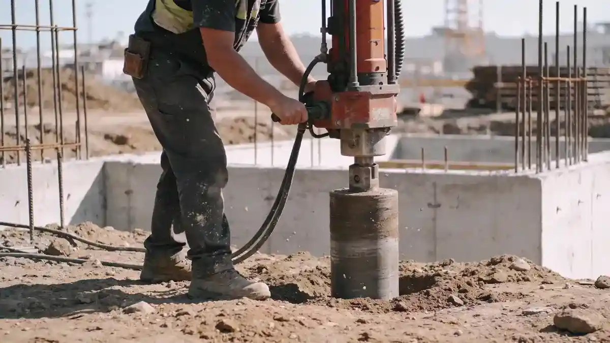
Our methodology for Langley begins with a comprehensive desktop study of existing borehole logs and geological maps. We then perform systematic field investigations using spt boring in accordance with ASTM D1586, typically advancing boreholes to depths of 8–15 m for residential projects and up to 30 m for industrial sites. Standard penetration tests are conducted at 1.5 m intervals, with continuous sampling in critical zones. All recovered samples are logged in the field and transported to our laboratory for classification, strength, and consolidation testing. This phased approach ensures that design parameters are based on site-specific data, reducing uncertainty and construction risk.
Reference Technical Parameters
| Parameter | Reference Value |
|---|---|
| Predominant soil type | Glacial till, silt, sand, and organic deposits (Fraser Lowland) |
| Maximum seismic acceleration (PGA) | 0.2–0.4 g (based on NBCC 2020 seismic hazard maps) |
| Typical groundwater level | 1.5–4.0 m below ground surface (seasonal variation) |
| Bedrock depth | Variable; 10–50 m in most areas, deeper in valley fills |
| Typical N60 range (SPT) | 10–40 blows/0.3 m (sands/silts); 30–80+ (glacial till) |
Local Considerations — Langley
Langley’s geology is dominated by glacial till and fluvial deposits over Tertiary bedrock. The shallow water table (1.5–4 m) necessitates dewatering plans for excavations. Seismic design follows NBCC 2020, with site class C or D typical. Older neighborhoods near Fort Langley may have soft organic soils requiring ground improvement. New developments in Willoughby often encounter dense till with high bearing capacity. Our team coordinates with local authorities and references soil mechanics laboratory results to refine parameters. For regional context, we rely on geotechnical engineering en Vancouver as a hub for broader Fraser Valley studies.
Request a Quote
Our team reviews your project and issues an initial report at no cost.
Or write us directly at [email protected]
Services in Langley
Applicable Standards
- ASTM D1586
- NBCC 2020
- BC Building Code
- ASTM D2487 (USCS)
- CSA A23.3 (foundation design)
Frequently Asked Questions
What soil types are commonly found in Langley?
Langley’s soils range from glacial till and dense sands to silty clays and organic deposits. The Fraser Lowland area has alluvial and glaciomarine sediments, while upland areas feature compact till. Understanding these variations is critical for foundation design and slope stability.
How does seismic hazard affect geotechnical work in Langley?
Langley lies in a moderate seismic zone with peak ground accelerations of 0.2–0.4 g per NBCC 2020. Soil liquefaction potential exists in loose, saturated sands. Our investigations include shear wave velocity measurements and cyclic testing to evaluate site response and inform seismic design.
Are geotechnical studies mandatory for new construction in Langley?
Yes, the BC Building Code requires a geotechnical report for sites with variable soil conditions, steep slopes, or high seismic risk. Many municipalities also mandate subsurface investigations for permit approval. Our reports satisfy all local regulatory requirements.