Methodology

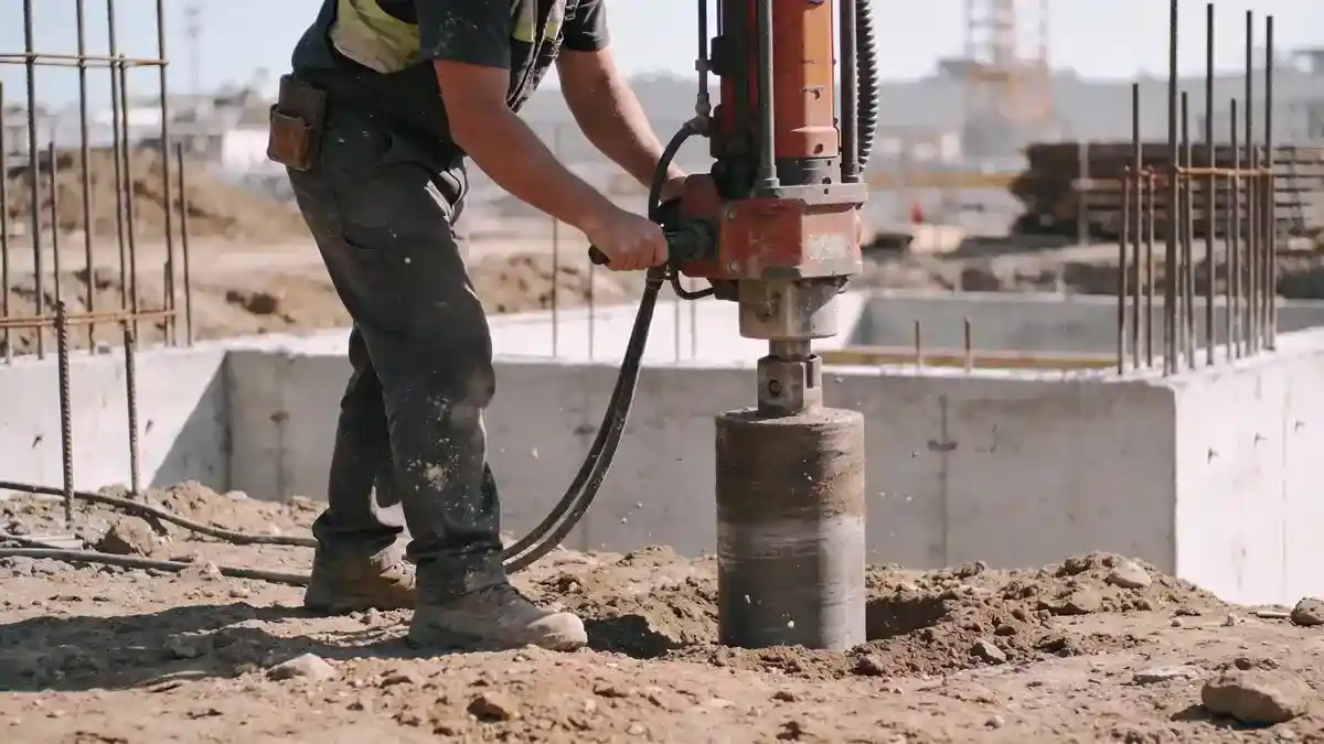
Our geotechnical engineering approach in Coquitlam begins with a thorough desk study of existing geological maps and borehole records from the area. Field investigations include spt boring to obtain soil samples and measure N60 values, cone penetration testing for continuous stratigraphic profiling, and installation of standpipe piezometers to monitor groundwater levels. We then classify soils according to the Unified Soil Classification System and perform laboratory tests—such as grain size analysis, Atterberg limits, and direct shear—to determine engineering properties. These data are used to develop site-specific geotechnical models for foundation design, slope stability, and seismic hazard assessments.
Reference Technical Parameters
| Parameter | Reference Value |
|---|---|
| Predominant soil type | Glacial till, silty sand with gravel, and fluvial deposits |
| Maximum seismic acceleration (PGA) | 0.40g to 0.50g (NBCC 2020 seismic hazard values for Coquitlam) |
| Typical groundwater level | 1.5 to 4.0 m below ground surface, variable seasonally |
| Bedrock depth | 10 to 30 m in valleys; exposed in upland areas |
| Typical N60 range | 10 to 50 blows per 0.3 m (sandy soils); >50 in till |
Local Considerations — Coquitlam
Coquitlam's geology is dominated by glacial till, glaciofluvial sands and gravels, and post-glacial alluvial deposits along the Coquitlam River. The area is seismically active, with design spectral accelerations among the highest in Canada per NBCC 2020. Groundwater levels are shallow in low-lying areas, requiring dewatering and drainage design. Significant slope stability concerns exist along the Coquitlam River escarpment and Eagle Ridge. Our team integrates these local factors into every project, leveraging experience from geotechnical engineering en Vancouver to address Coquitlam's specific challenges. We also coordinate with municipal requirements for preload monitoring and settlement control in soft soil zones.
Request a Quote
Our team reviews your project and issues an initial report at no cost.
Or write us directly at [email protected]
Services in Coquitlam
Applicable Standards
- NBCC 2020 (National Building Code of Canada)
- ASTM D1586 (Standard Penetration Test)
- ASCE/SEI 7 (Minimum Design Loads for Buildings and Other Structures)
- CSA A23.3 (Design of Concrete Structures)
- British Columbia Building Code (BCBC 2018)
Frequently Asked Questions
What soil types are commonly found in Coquitlam?
Coquitlam's subsurface typically consists of glacial till—a dense mixture of clay, silt, sand, and gravel—overlying sedimentary bedrock. In valley bottoms, fluvial deposits of sand and gravel are common, with occasional organic layers. Glaciomarine silts and clays are present in some areas, requiring careful foundation design.
What seismic design considerations apply to Coquitlam?
Coquitlam is in a high seismic zone per NBCC 2020, with peak ground accelerations up to 0.50g. Site-specific response spectra are required for important structures, and liquefaction assessment is mandatory in areas with loose saturated sands. Shallow groundwater and soft soil deposits can amplify ground motions.
Are geotechnical studies mandatory for construction in Coquitlam?
Yes, the City of Coquitlam requires geotechnical reports for most building permits, especially for multi-unit residential, commercial, and infrastructure projects. Studies must address foundation bearing capacity, settlement, slope stability (if applicable), and seismic hazards, following BCBC and NBCC guidelines.